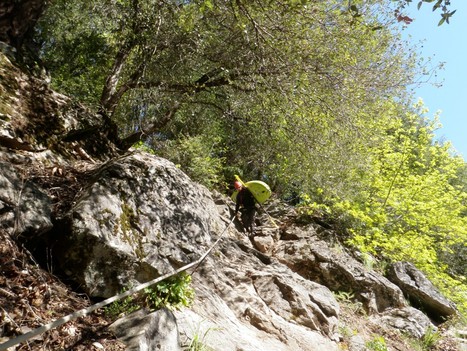
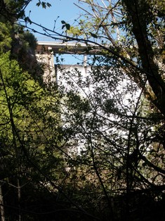
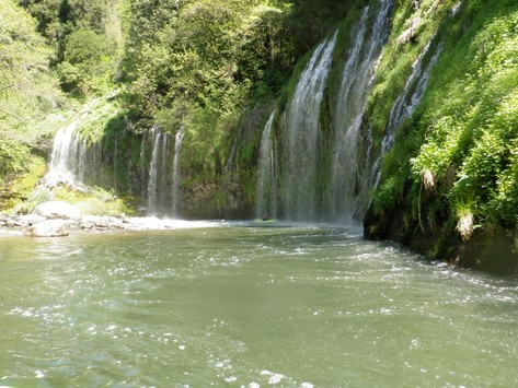
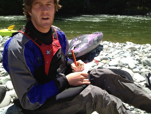
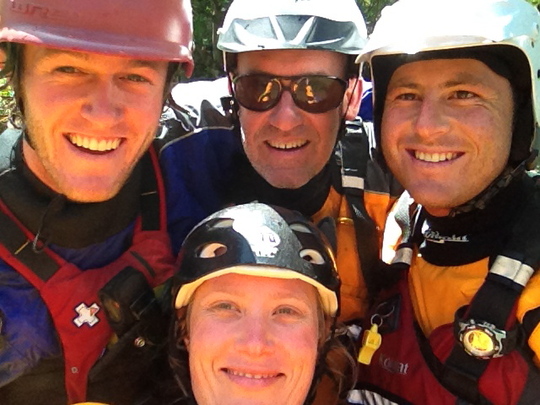
Our journey down the long Sacramento has begun. On Wednesday Kevin and Galen walked to the bottom of Box Canyon Dam, the official beginning of the Sacramento River. The river starts off fast and narrow. It is hard to believe its the same river that provides water to millions of Californians. The walk down to the river is an adventure in of its own, steep and rocky. A rope has been installed to offer assistance.
Above you can see the dam holding back Lake Siskiyou.
The run begins with many fun class IV rapids. Only two miles down stream Galen and Kevin were joined by John and Danielle. We made our way down 23 miles to Sims Flat Campground. We had several duckie swims from Danielle and many great views of Mt. Shasta and Castle Crags. Its truly remarkable how beautiful this run is and only a hop, skip and jump from I-5. On Thursday, we jumped back in our boats at Sims Flat campground to make our way down to Dog Creek just above Shasta Lake. This is one of the best class three sections, lots of rapids and amazing scenery.
Interesting facts about the Sacramento River:
- The Sacramento watershed is 27,000 square miles roughly three times the size of New Jersey. The total
- The river extends 320 miles from Box Canyon Dam, near Mt. Shasta City, to the San Francisco Bay.
- There are 3 majors Dams: Mt. Shasta, Keswick, and Red Bluff.
- There are 4 major diversions: Tehama- Colusa Canal, Corning Canal, Sacramento Deep Water Ship Channel, and California Aquaduct.
- Major threats to the watershed include an outdated water supple and flood control systems.
- You could be drinking water from Mt. Shasta in LA on any given day. WOW.

