TRACKING EASTERN HEMLOCK
VOLUNTEER HOMEPAGE
WELCOME ADVENTURERS!
That’s a wrap! Thank you to everyone who participated this year. Stay tuned for updates about the project, and how the scientific partners use the data you collected.
WHAT TO DO NEXT
Revisit Training
Learn why eastern hemlock trees are important, how the wooly adelgid is impacting them, and how you can help.
Download Digital Protocol
Plan Your Outings
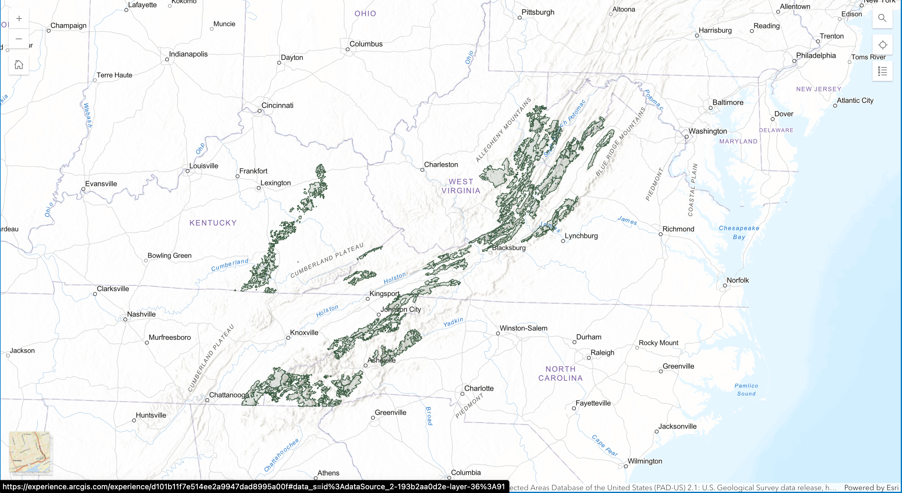
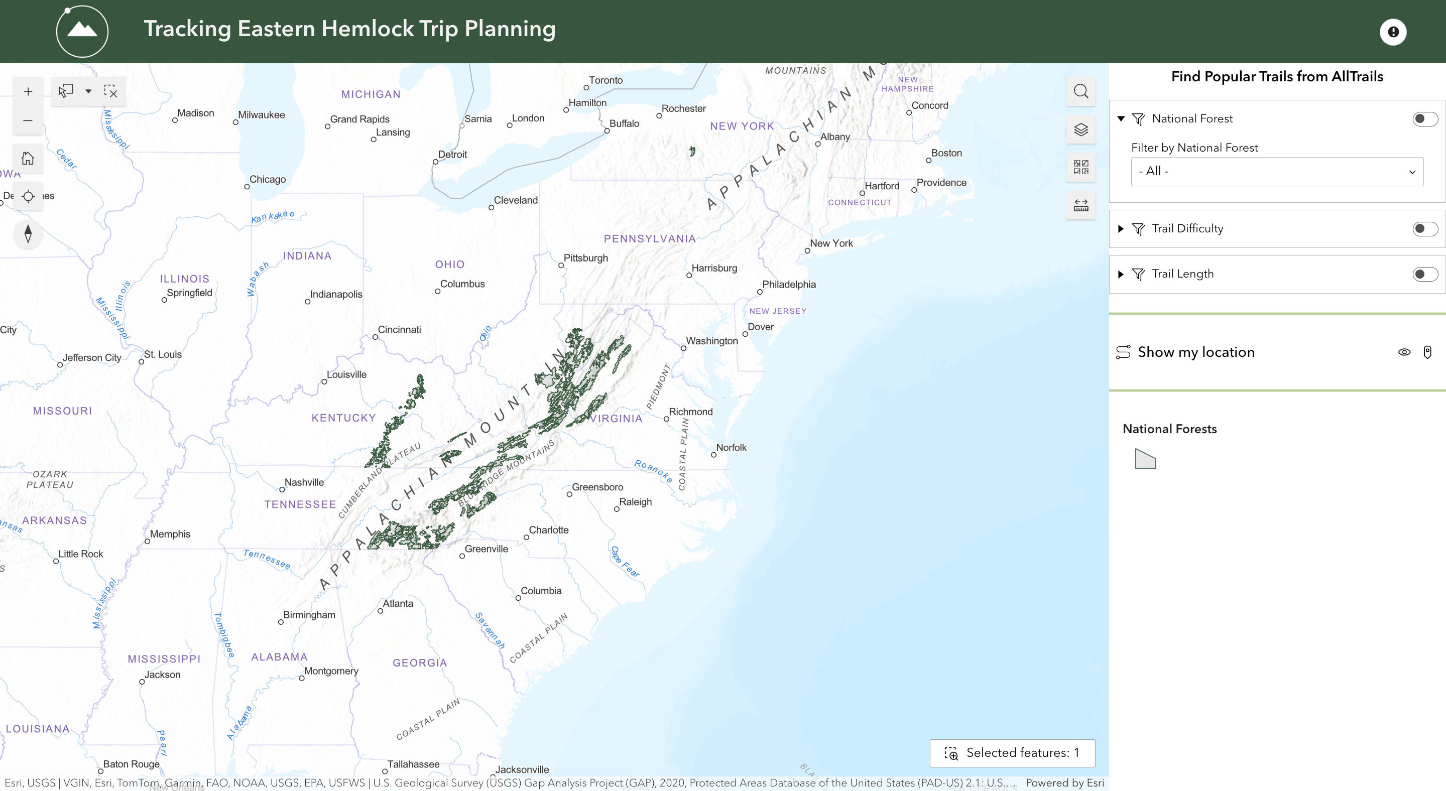
Use the maps below to pick trails to search for eastern hemlock trees. Click the image below to open the interactive map.
To Know:
You can only complete observations on the listed trails. Not all trails in the National Forests are included on this map because some areas have already been treated for hemlock woolly adelgid.
You may choose between any of the colorful trails (purple, green, yellow, red). The trails highlighted in green, yellow, and red are the most popular trails according to AllTrails. Green-highlighted trails are rated easy, yellow are moderate, and red are most difficult. Purple trails are not listed on AllTrails but are available for this project.
Select trails that do not have gold or gray tree icons. These icons indicate that observations for this project have already been completed on these trails. You do not need to reserve a trail in advance. A gold tree icon represents an eastern hemlock observation. A gray tree icon indicates that no eastern hemlock trees are present (absence data was recorded).
Protip: Green diamonds are known eastern hemlock locations according to the naturalist community of iNaturalist. Use them to identify areas where you are guaranteed to see hemlocks!
Use this map if you’re on your phone, or prefer the most simple option. No special filters or widgets, just a map.
FAQs
Where should I make observations?
Start at the trailhead of designated trails and do a thorough search every ½ mile along the trail. Additional hemlock observations may be recorded at any point along the trail, but you only record absence data at the ½ mile waypoints.
What if I don’t find any hemlocks?
Not finding hemlock trees (absence data) at the ½ mile waypoints is just as important as finding them! Record this information in the TreeSnap app, as it helps scientists identify where to target their future data collection efforts.
How do I measure the trunk circumference of a tree with a split trunk?
- If the tree’s trunk forks at or above 4.5 feet from the ground, measure the circumference at the 4.5-foot mark.
- If the fork is below 4.5 feet, measure the circumference of each trunk at the 4.5-foot mark, add these measurements together, and record the total in the TreeSnap app. Be sure to select “measured” and “calculate” in the app.
What if I can’t reach the tree I need to measure?
If the tree is inaccessible, estimate the trunk circumference to the best of your ability. When entering the diameter at breast height (DBH) in TreeSnap, mark the measurement as “estimated.” As a reference, consider the size of a 12-inch ruler to help you gauge whether the trunk is larger or smaller across.
How can I start collecting data right away?
Complete the required training and submit the Trip Planning form. If you already have a flexible tape measure, you can download the field protocol here and begin without waiting for the gear kit.
Can I go into the field alone to collect data?
You are free to submit an application solo, but we highly encourage you to always bring one other person with you into the field for safety reasons.
Can I train my friends to collect data?
No, all volunteer training is conducted exclusively by Adventure Scientists. While your friends may assist with tasks like taking GPS points or photos, they will need to complete the official training if they wish to be more involved in sample collection. This training is essential to ensure that all volunteers are prepared to collect high-quality data to support Hemlock research effectively.
When will I receive my gear kit?
Gear kits typically arrive about one week after you submit your Trip Planning form.
Have additional questions?
Feel free to email us at forests@adventurescientists.org.
How do I know how to stop and collect data every half-mile?
When you choose a trail on the map you will see an option to download a GPX file. A GPX file contains navigation information about the trail and the waypoints. You can import a GPX file to a GPS device or navigation system and create a custom route (or track). GPX is an open standard, meaning it’s widely supported and can be used across various platforms and applications (AllTrails, OnX, Garmin, Gaia, etc.). In some cases (Google My Maps and Caltopo) you might need to convert the file to .kml first using https://gpx2kml.com/
If you don’t have experience uploading GPX files to your navigation system, you can Google “how do I upload a gpx file to __” to find a tutorial.
Alternatively, you can also use an activity tracking app to track your trail distance, but you will need to pause your activity while you search for hemlock trees and go off trail to collect data.
Can I submit observations on hemlocks in my backyard?
This project can only be conducted on designated trails within specific National Forests, as indicated on the trip planning map. Please do not submit observations outside of these designated trails. To ensure the study’s accuracy, we have excluded areas where hemlock trees are known to have been treated with pesticides.
How do I avoid spreading HWA after completing observations?
During this time of year, the risk of spreading hemlock woolly adelgid (HWA) is minimal, as there are no active crawlers or eggs. Any adelgid dislodged from a plant cannot reattach and will die before reproducing. However, towards the end of the project in March, crawlers may emerge depending on weather conditions, increasing the risk of spread.
To minimize any potential impact, clean the soles of your shoes after fieldwork, wash your hands thoroughly, and heat-treat clothes and gloves in a dryer to kill any HWA. Additionally, you can use a lint roller on your coat and pants to remove any lingering insects. These simple precautions help protect the environment while contributing to the project.
The trail I selected is 20 miles long. Do I need to complete the entire trail, or can I make observations on only part of a trail?
You’re welcome to make observations on as much or as little of a trail as you like. Whether you cover just the first mile or explore 50 miles, it’s entirely up to you and what you’re most comfortable with. Every observation counts and contributes to the project!
Find my volunteer ID:


