The Wilderness Classroom Blogs about Their Experience Collecting Data for ASC
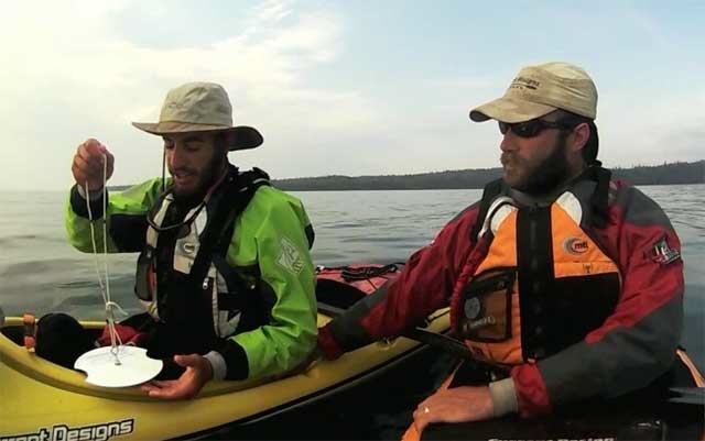
Soon after starting, we lengthened the rope attached to the Secchi disk because the water in Lake Superior was so clear. We often had readings of 45 or more feet with the deepest being around 55 feet. It was very interesting to see the affect the surrounding environment had on the depth that we recorded. The wild stretches of coastline were where we most often had very deep readings. While when we were near towns, they usually were not quite as deep. We found that rivers often had a profound effect on the reading. West of the town of Marathon, Ontario near the mouth of the Little Pic river we got a reading of only one and a half feet! While earlier that same day, we had had a reading of 40 feet.
We were glad to be able to help the School of Freshwater Scientists gather data on water clarity in Lake Superior and Lake Huron. And we hope that it will be useful to them. It was a learning experience for us. It made us think more about the clarity of the water that we are paddling in and what can affect it. It also made us appreciate the water quality of Lake Superior more.
Retrieved from: https://www.wildernessclassroom.com/blog/updates/notes-from-the-trail/461-collecting-scientific-data-for-the-university-of-wisconsin.html

